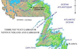
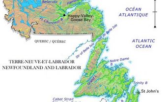
Mount Pearl, NL, incorporated as a city in 1988, population 24 284 (2011c), 24 671 (2006c). The City of Mount Pearl, the province's second-largest city, is situated just southwest of St John's. Originally known as Mount Cochrane, it was an estate awarded to British naval officer James Pearl in 1829 by Governor Cochrane. Following the governor's departure in 1834, Commander Pearl renamed the site after himself. The estate was subdivided at his wifes death in 1854. In the 20th century Mount Pearl was the site of Guglielmo Marconi's first experiment in transoceanic wireless telegraphy. Glendenning's Farm, part of the original estate and a government demonstration farm in the 1930s, was the site of an airfield used by aviation pioneers (1919).
A popular summer resort in the 1930s, Mount Pearl was developed as an urban centre along with neighbouring Glendale in the 1950s and incorporated as the town of Mount Pearl Park-Glendale in 1955 (3 years later renamed to Mount Pearl). A number of large subdivisions were built in the 1960s and the town grew as a dormitory community, which eventually included in its boundaries Newtown and Donovan's, a large industrial park. Its growth continued, leading it to become Newfoundland and Labradors third city in 1988. Apart from local services, Mount Pearl depends on light industry in its industrial parks for most of its commerce and employment. Since the late 1990s with the beginning of offshore oil production, servicing this industry has become an important aspect of the citys economy.

 Share on Facebook
 Share on X
 Share by Email
 Share on Google Classroom


