Share on Facebook
 Share on X
 Share by Email
 Share on Google Classroom
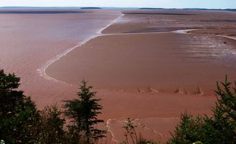
Chaleur Bay, which lies between the Gaspé Peninsula, Québec, and northern New Brunswick, is the largest bay in the Gulf of St Lawrence. At its entrance lies Miscou Island. The bay is divided into 2 basins: the outer or eastern basin, with water depths mostly 70-90 m, and the inner or western basin, with depths generally less than 50 m.
The Restigouche River enters the western end of the bay to produce an estuary roughly 130 km long. In ancient times the western basin and Chaleur Trough to the east were part of the Restigouche Channel, providing a natural preglacial drainage system for the surrounding area.
Near the entrance of the bay, cold, fresh surface water from the Gaspé Current enters on the north side, while flow on the south shore is directed outward into the gulf to create a counterclockwise gyre in the surface circulation.
The Gaspé water is rich in nutrients and promotes a high and sustained level of primary production throughout the summer months. The bay is a famous fishing ground for Atlantic salmon and also supports herring, lobster and scallop fisheries.
As the name (meaning "warm" in French) bestowed on the bay by Jacques Cartier suggests, the climate of the bay is unusually warm compared to adjacent areas of the gulf, making it a favoured location for summer resorts. Cartier explored the bay in July 1534 and traded for furs with the natives, likely Mik'maq. Dalhousie, at the mouth of the Restigouche estuary, and Belledune, farther south along the coast, are major ports for northern New Brunswick.