Share on Facebook
 Share on X
 Share by Email
 Share on Google Classroom
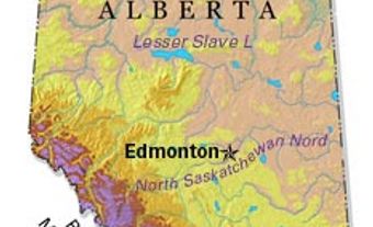
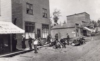
Innisfail, Alta, incorporated as a town in 1903, population 7876 (2011c), 7331 (2006c). The Town of Innisfail is located on the CP Rail line 121 km north of Calgary. Originally known as Poplar Grove, the settlement emerged as a regular stopping place on the Calgary-Edmonton Trail during the early 1880s. In 1882, the Alberta Lumber Co of Montréal opened a grist mill near the eventual townsite, which was surveyed the following year.
Though the North-West Resistance of 1885 hindered settlement of the area, the rich soil, plentiful timber and abundant wildlife began to attract numerous settlers shortly thereafter. With the arrival of the Calgary and Edmonton Railway in 1891, the first post office was opened (1892) and a school district was established. The settlement was then renamed after the Irish town of Innisfail (1892). It was incorporated as a village in 1899, and has remained the prosperous centre of a mixed farming district. Significant oil discoveries in the area were made after World War II, and today local businesses cater to the servicing of the oil and natural gas industry that has developed since then.