Towns | The Canadian Encyclopedia

Browse "Towns"

Displaying 286-300 of 382 results
  • Article

    Russell (Man)

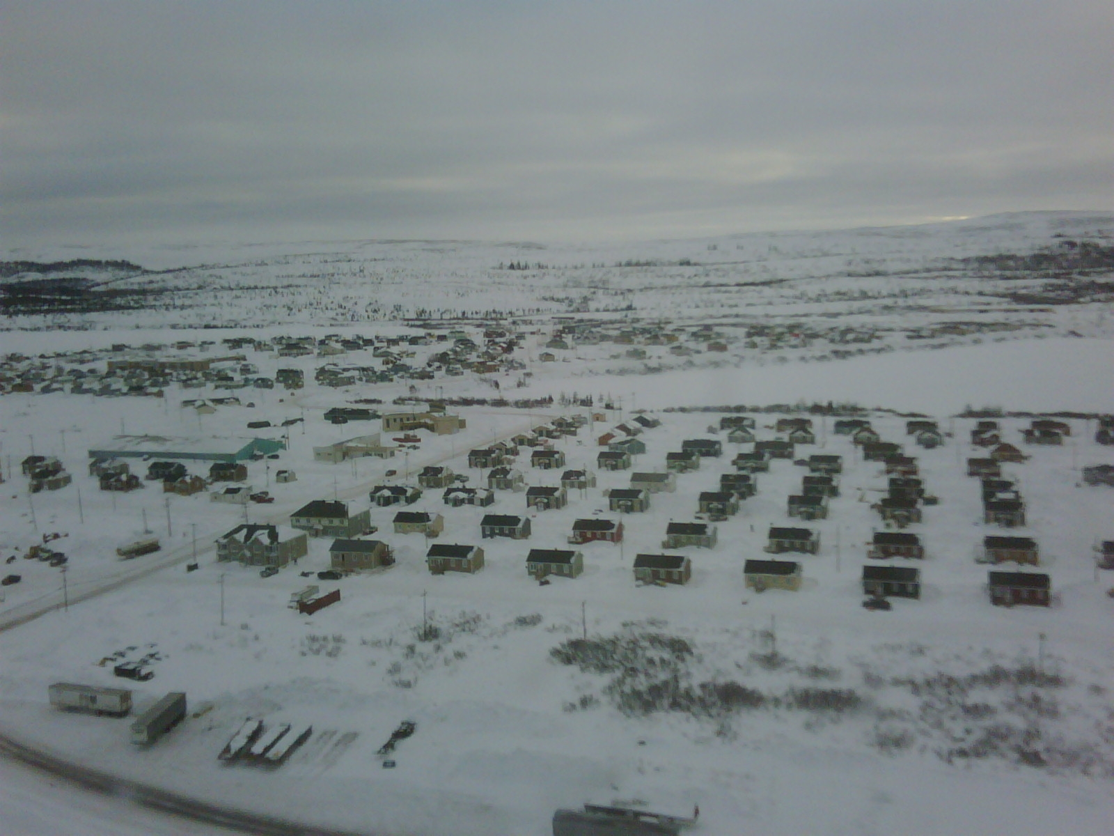
    Russell, Manitoba, incorporated as a village in 1907 and as a town in 1913, population 1669 (2011c), 1590 (2006c). The Town of Russell is an agricultural service centre 350 km northwest of Winnipeg near the Manitoba-Saskatchewan border.

    "https://www.thecanadianencyclopedia.ca/images/tce_placeholder.jpg?v=e9dca980c9bdb3aa11e832e7ea94f5d9" // resources/views/front/categories/view.blade.php
    
    https://www.thecanadianencyclopedia.ca/images/tce_placeholder.jpg?v=e9dca980c9bdb3aa11e832e7ea94f5d9 Russell (Man)
  • Article

    Sackville

    Sackville, NB, incorporated as a town in 1903, population 5558 (2011c), 5411 (2006c). Sackville is situated 50 km southeast of Moncton on the Tantramar River, near the Nova Scotia border.

    "https://d3d0lqu00lnqvz.cloudfront.net/media/media/5dbfbca9-4ef2-40d8-b045-723f078917dd.jpg" // resources/views/front/categories/view.blade.php
    
    https://d3d0lqu00lnqvz.cloudfront.net/media/media/5dbfbca9-4ef2-40d8-b045-723f078917dd.jpg Sackville
  • Article

    Saint Andrews (NB)

    Saint Andrews, NB, incorporated as a town in 1903, population 1889 (2011c), 1798 (2006c). The Town of Saint Andrews is located at the mouth of the ST CROIX RIVER in the southwest corner of New Brunswick.

    "https://www.thecanadianencyclopedia.ca/images/tce_placeholder.jpg?v=e9dca980c9bdb3aa11e832e7ea94f5d9" // resources/views/front/categories/view.blade.php
    
    https://www.thecanadianencyclopedia.ca/images/tce_placeholder.jpg?v=e9dca980c9bdb3aa11e832e7ea94f5d9 Saint Andrews (NB)
  • Article

    Saint-Basile-le-Grand

    Saint-Basile-le-Grand, Qué, Town, pop 15 605 (2006c), 12 385 (2001c), inc 1969. Saint-Basile-le-Grand is located between Mont Saint-Bruno and the Rivière RICHELIEU about 35 km east of MONTRÉAL.

    "https://www.thecanadianencyclopedia.ca/images/tce_placeholder.jpg?v=e9dca980c9bdb3aa11e832e7ea94f5d9" // resources/views/front/categories/view.blade.php
    
    https://www.thecanadianencyclopedia.ca/images/tce_placeholder.jpg?v=e9dca980c9bdb3aa11e832e7ea94f5d9 Saint-Basile-le-Grand
  • Article

    Saint-Jean-Chrysostome

    Saint-Jean-Chrysostome, Quebec, population 18,352 (2019), 17,089 (2001 census).  Saint-Jean-Chrysostome is located on the south bank of the St. Lawrence River. It is some 20 km south of Quebec City in the Chaudière-Appalaches Region. This region is characterized by fertile agricultural plains, plateaus and the majestic Appalachian mountains. (See Mountain Range.) Originally incorporated in 1965, Saint-Jean-Chrysostome became part of .

    "https://d3d0lqu00lnqvz.cloudfront.net/media/media/fff2605f-e1c7-4789-b999-075715b3149b.jpg" // resources/views/front/categories/view.blade.php
    
    https://d3d0lqu00lnqvz.cloudfront.net/media/media/fff2605f-e1c7-4789-b999-075715b3149b.jpg Saint-Jean-Chrysostome
  • Article

    Saint-Léonard (NB)

    Saint-Léonard, NB, incorporated as a town in 1920, population 1343 (2011c), 1352 (2006c).

    "https://www.thecanadianencyclopedia.ca/images/tce_placeholder.jpg?v=e9dca980c9bdb3aa11e832e7ea94f5d9" // resources/views/front/categories/view.blade.php
    
    https://www.thecanadianencyclopedia.ca/images/tce_placeholder.jpg?v=e9dca980c9bdb3aa11e832e7ea94f5d9 Saint-Léonard (NB)
  • Article

    Saint-Quentin

    Saint-Quentin, NB, incorporated as a town in 1992, population 2095 (2011c), 2250 (2006c). The Town of Saint-Quentin is located in northern New Brunswick in the Appalachian Highlands between the RESTIGOUCHE and MIRAMICHI rivers and tributaries of the SAINT JOHN RIVER.

    "https://www.thecanadianencyclopedia.ca/images/tce_placeholder.jpg?v=e9dca980c9bdb3aa11e832e7ea94f5d9" // resources/views/front/categories/view.blade.php
    
    https://www.thecanadianencyclopedia.ca/images/tce_placeholder.jpg?v=e9dca980c9bdb3aa11e832e7ea94f5d9 Saint-Quentin
  • Article

    Saint-Raymond

    Saint-Raymond's industrial activity has always been closely linked to the forest industry. Sawmilling, pulp and paper, wood products, house and cottage manufacturing as well as charcoal production, are still key economic activities.

    "https://d3d0lqu00lnqvz.cloudfront.net/media/media/eafda8a7-b679-46ed-bcc0-bd5a00bdc540.jpg" // resources/views/front/categories/view.blade.php
    
    https://d3d0lqu00lnqvz.cloudfront.net/media/media/eafda8a7-b679-46ed-bcc0-bd5a00bdc540.jpg Saint-Raymond
  • Article

    Sainte-Adèle

    In the mid-1840s, as conditions worsened in the seigneuries, settlers came to the area called Les Cantons du nord, later, Les Pays-d'en-haut. The coming of the railway at the turn of the century assisted colonization and the establishment of the tourist industry in the area.

    "https://d3d0lqu00lnqvz.cloudfront.net/media/media/b5046a48-3bfb-4a94-acd7-52ad59bde3da.jpg" // resources/views/front/categories/view.blade.php
    
    https://d3d0lqu00lnqvz.cloudfront.net/media/media/b5046a48-3bfb-4a94-acd7-52ad59bde3da.jpg Sainte-Adèle
  • Article

    Sainte-Agathe-des-Monts

    In the 19th century, Sainte-Agathe had only a few sawmills, but the construction of the Montreal and Occidental Railway in 1892 (replaced by the CPR in 1900) encouraged tourism and the development of the hotels that have become the region's economic mainstay.

    "https://www.thecanadianencyclopedia.ca/images/tce_placeholder.jpg?v=e9dca980c9bdb3aa11e832e7ea94f5d9" // resources/views/front/categories/view.blade.php
    
    https://www.thecanadianencyclopedia.ca/images/tce_placeholder.jpg?v=e9dca980c9bdb3aa11e832e7ea94f5d9 Sainte-Agathe-des-Monts
  • Article

    Sainte-Anne-de-Bellevue

    Sainte-Anne-de-Bellevue, Qué, Town, pop 5197 (2006c), 5062 (2001c), inc 1895. Sainte-Anne-de-Bellevue is located on the western tip of Île de Montréal, about 35 km west of MONTRÉAL.

    "https://www.thecanadianencyclopedia.ca/images/tce_placeholder.jpg?v=e9dca980c9bdb3aa11e832e7ea94f5d9" // resources/views/front/categories/view.blade.php
    
    https://www.thecanadianencyclopedia.ca/images/tce_placeholder.jpg?v=e9dca980c9bdb3aa11e832e7ea94f5d9 Sainte-Anne-de-Bellevue
  • Article

    Sainte-Anne-des-Monts

    In 1863 the area became known as the Parish of Sainte-Anne-des-Monts. The first settlers named it in memory of their native parish of Sainte-Anne-de-la-Pocatière in France. In 1968, it became the city of Sainte-Anne-des-Monts.

    "https://d3d0lqu00lnqvz.cloudfront.net/media/media/ad9f83cd-9898-46fb-a508-c0f481a5a549.jpg" // resources/views/front/categories/view.blade.php
    
    https://d3d0lqu00lnqvz.cloudfront.net/media/media/ad9f83cd-9898-46fb-a508-c0f481a5a549.jpg Sainte-Anne-des-Monts
  • Article

    Sault Ste Marie

    Sault Ste Marie, Ontario, incorporated as a town in 1887 and as a city in 1912, population 72,051 (2021 census), 73,368 (2016 census). The city of Sault Ste Marie is located adjacent to the rapids of the St Marys River between lakes Superior and Huron. Across the river is the American city of the same name. Sault Ste Marie sits on the traditional territory of the Ojibwe, who called the site Bawating (“place of the rapids”) and valued it for its access to the upper Great Lakes and as a source of abundant whitefish and maple sugar. It is popularly called “the Sault,” or “Soo.”

    "https://d3d0lqu00lnqvz.cloudfront.net/media/media/a1557c26-bfa4-48ad-aef1-724137f63990.jpg" // resources/views/front/categories/view.blade.php
    
    https://d3d0lqu00lnqvz.cloudfront.net/media/media/a1557c26-bfa4-48ad-aef1-724137f63990.jpg Sault Ste Marie
  • Article

    Schefferville

    Schefferville, Quebec, incorporated as a town in 1955, population 155 (2016 census), 213 (2011 census). Schefferville is located between Knob and Pearce Lakes, on Quebec’s border with Labrador, 510 km north of Sept-Îles.

    "https://d3d0lqu00lnqvz.cloudfront.net/media/new_article_images/Schefferville/Schefferville_2013.jpg" // resources/views/front/categories/view.blade.php
    
    https://d3d0lqu00lnqvz.cloudfront.net/media/new_article_images/Schefferville/Schefferville_2013.jpg Schefferville
  • Article

    Selkirk

    Selkirk, Manitoba, incorporated as a town in 1882 and as a city in 1998, population 10,504 (2021 census), 10,278 (2016 census). The City of Selkirk is located on the west bank of the Red River, 29 km north of Winnipeg. The city was named after Thomas Douglas, Fifth Earl of Selkirk.

    "https://thecanadianencyclopedia.ca/images/tce_placeholder.jpg?v=e9dca980c9bdb3aa11e832e7ea94f5d9" // resources/views/front/categories/view.blade.php
    
    https://thecanadianencyclopedia.ca/images/tce_placeholder.jpg?v=e9dca980c9bdb3aa11e832e7ea94f5d9 Selkirk