 Share on Facebook
 Share on X
 Share by Email
 Share on Google Classroom
History and Design
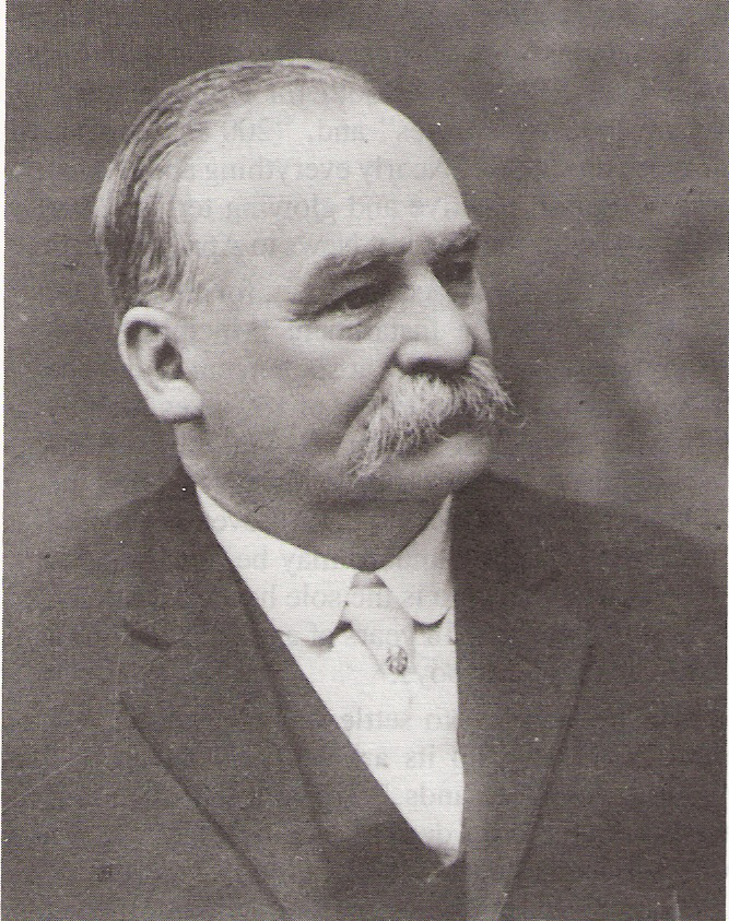
Stirling was settled in May 1899 when 30 Mormon migrants led by missionary Theodore Brandley arrived from Utah. The settlement initiative in what was then known as the Northwest Territories was planned in accordance with an agreement between The Church of Jesus Christ of Latter-day Saints and the Alberta Irrigation Company, which owned the land. The Church agreed to provide the settler labour to build the irrigation canals and infrastructure that were necessary to deliver water when and where it was required, an especially important initiative as the arid landscape of this region was ill-suited to agriculture. While appeals for volunteers to move from Utah were initially unsuccessful, a mission “call” was made to Church members, an invitation that was difficult to refuse. Completed in 1900, and now known as the Galt Canal, the irrigation system built by these migrants stretches from Kimball on the St. Mary’s River to Stirling and continues on to Lethbridge.
The village occupied a one-square-mile (640-acre) section, which was sub-divided into 2.5-acre lots, each providing space for a homestead, farm buildings and a garden. The template for this design was the Plat of Zion, the idealized model for the design of agricultural villages proposed in 1833 by Joseph Smith, the founder of the Mormon faith. The preference for agricultural villages instead of scattered farmsteads in the countryside was the most distinctive feature of the Mormon cultural landscape.

Eighteen Mormon villages and towns in southern Alberta were settled from 1887 to 1910 (see also Raymond and Cardston), but Stirling is unique because it follows the Plat of Zion so closely in its mile-square plan and the regularity of its road grid. A number of distinctive architectural design features are still clearly visible today as evidence of its authenticity. Streets oriented to the cardinal directions of the compass are extra wide, to permit a U-turn by a grain wagon hitched to a team of horses. Mormon fences still exist, best known for their two or three strands of barbed wire and rustic appearance. The lots are still quite large compared to other villages and a few small barns still exist, which, with their hay hoods and gambrel roofs, are reminiscent of the barn designs of Missouri where many Mormons lived before migrating westward. A tithing house to store agricultural products for the needy has been preserved.
Despite its unique plan, Stirling is also representative of villages in southern Alberta in the early 20th century. Houses were equipped with below-ground cisterns to store water because well water is unreliable in this arid region. Electricity did not arrive until 1928, decades behind urban electrification in cities of the Prairie West. A piped supply of treated water finally arrived in 1965, replacing the ditch, flume and culvert-based distribution of irrigation water for drinking and other domestic uses in the village.

Present-Day Life
Most of Stirling’s residents adhere to the Mormon faith and this is reflected in its population structure, which shares characteristics with the wider Mormon population in North America. With just over 28 per cent of its population under age 15 according to the 2016 census, Stirling has a youthful population and above-average family size compared to the rest of Alberta. Yet it also functions as a retirement community, with a relatively large population of senior citizens.
Stirling has become a bedroom community serving the Lethbridge labour market. However, it also continues to function as an agricultural village with farmers cultivating the surrounding land using modern agricultural technology to grow hay (see Forage Crops), grain and oilseeds on irrigated land, while still enjoying the social advantages of community living.
National Historic Site
Designated a national historic site in 1989, Stirling also includes two provincial historic sites. The William T. Ogden House features brick construction (a rarity in southern Alberta) and white pillars extending to the second storey in a neo-classical style that dates to 1919. The Michelsen Farmstead, open to the public as an interpretive centre in the summer months, is a traditional farmhouse with wraparound porch that was built in 1902 and has been restored with 1930s artifacts.