Share on Facebook
 Share on X
 Share by Email
 Share on Google Classroom
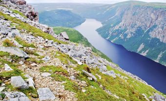
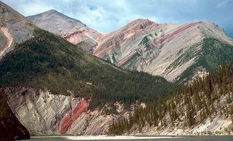
Selkirk Mountains are ranges in southeastern BC between the Columbia River on the West and the valley of Kootenay Lake.


")

Selkirk Mountains are ranges in southeastern BC between the Columbia River on the West and the valley of Kootenay Lake. Around Rogers Pass in Glacier National Park and North to the Rocky Mountain Trench are many impressive peaks with spectacular relief, including Mt Sir Sandford, the highest at 3533 m.
Economic Importance
The more accessible southern ranges were settled in the 1880s, when mining activity drew prospectors from the northwestern US. A mine in the McNaughton Lk region produces copper-zinc ore. Successive waves of settlers in the Kootenay and Slocan valleys have included religious groups like the Doukhobors. Trail is the industrial centre of the Kootenay region; Nelson and Castlegar are forest-products manufacturing centres.