Share on Facebook
 Share on X
 Share by Email
 Share on Google Classroom
Lachute
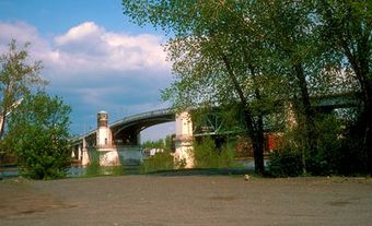
Lachute, Qué, Town, pop 11 832 (2006c), 11 628 (2001c), inc 1885. Lachute is located at a waterfall on the Rivière du Nord about 80 km northwest of Montréal, where the first Laurentian foothills meet the plain of Montréal. The name is descriptive, referring to the waterfall around which the town was built. Around 1798 the first settlers, American and Scottish Protestants from Jericho, Vermont, called the place "The Chute Settlement." It slowly became known as La Chute, and with industrialization and the influx of French-Canadian workers, the 2 words became one.Agriculture sustained the early settlers, but the town developed through its close connection with the paper and textile industries. In 1966 Lachute merged with the village of Ayersville (inc 1952), named after the Ayers family, whose textile firm was involved in the manufacture of woollen blankets and large felt sheets used in pulp and paper manufacturing. The Ayers mill was located on the west bank of Rivière du Nord, across from Lachute. In 1947 a strike in the Ayers' plant made headlines. Three union leaders were arrested as communists, and criticism flew in the face of premier Maurice DUPLESSIS, who was accused of condoning police brutality. The conflict became a symbol of union and worker militancy in Québec, just as the ASBESTOS STRIKE did a few years later.
The seat for the regional county municipality of Argenteuil, Lachute's economy is now more diversified, and the town is an important centre on the north bank of the OTTAWA RIVER. The local economy is still closely linked to pulp and paper but there is also food products, furniture and boat manufacturing. Musée régional d'Argenteuil shows the development of the region during the 19th century.