Share on Facebook
 Share on X
 Share by Email
 Share on Google Classroom
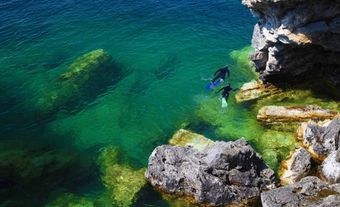
Southampton Island, 41 214 km2, is situated between FOXE BASIN and HUDSON BAY. It combines the 2 basic regional relief types. Its north and northeast consist of undulating highlands of Precambrian SHIELD rocks, reaching

Signing up enhances your TCE experience with the ability to save items to your personal reading list, and access the interactive map.
Create AccountOur team will be reviewing your submission
and get back to you with any further questions.
Thanks for contributing to The Canadian Encyclopedia.
CloseArticle
Article by Douglas Finlayson
Published Online February 7, 2006
Last Edited March 4, 2015