Share on Facebook
 Share on X
 Share by Email
 Share on Google Classroom
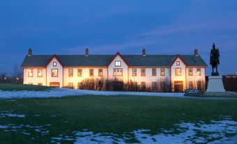
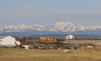
Okotoks, Alberta, incorporated as a town in 1904, population 30,214 (2021 census), 28,833 (2016 census). The town of Okotoks is located 20 km south of Calgary.
The name Okotoks comes from a Siksikáí’powahsin word meaning “rock.” Before European settlement, the Siksika used a crossing point on the Sheep River where the town now stands. The name may have referred to the large block of rock that sits on the otherwise flat prairie west of the town. Known as Big Rock, it was transported by the continental glacier of the last ice age, likely from Mount Edith Cavell. Geologists call this feature a glacial erratic.
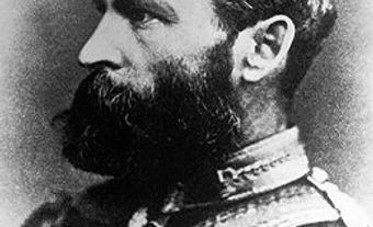
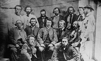
In the 1880s, Okotoks was the site of a stopping house on the Macleod Trail, a wagon route between Fort Macleod and Calgary. From 1892 to 1896, it was known as Dewdney, after Sir Edgar Dewdney, a lieutenant-governor of the North-West Territories.
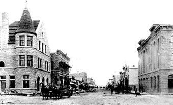
The routing of the Canadian Pacific Railway through Calgary made Okotoks a resting point on overland connecting trails from the south. In 1891, with the completion of the railway to Fort Macleod, Okotoks boomed as a transportation, ranching and sawmilling centre. The discovery of the Turney Valley oil field west of the town in 1914 spurred further growth. In the 1960s and 1970s, Okotoks became a commuter suburb of Calgary.