Boundaries & Geographical Names | The Canadian Encyclopedia

Browse "Boundaries & Geographical Names"

Displaying 1-6 of 6 results
Article

Arctic Circle

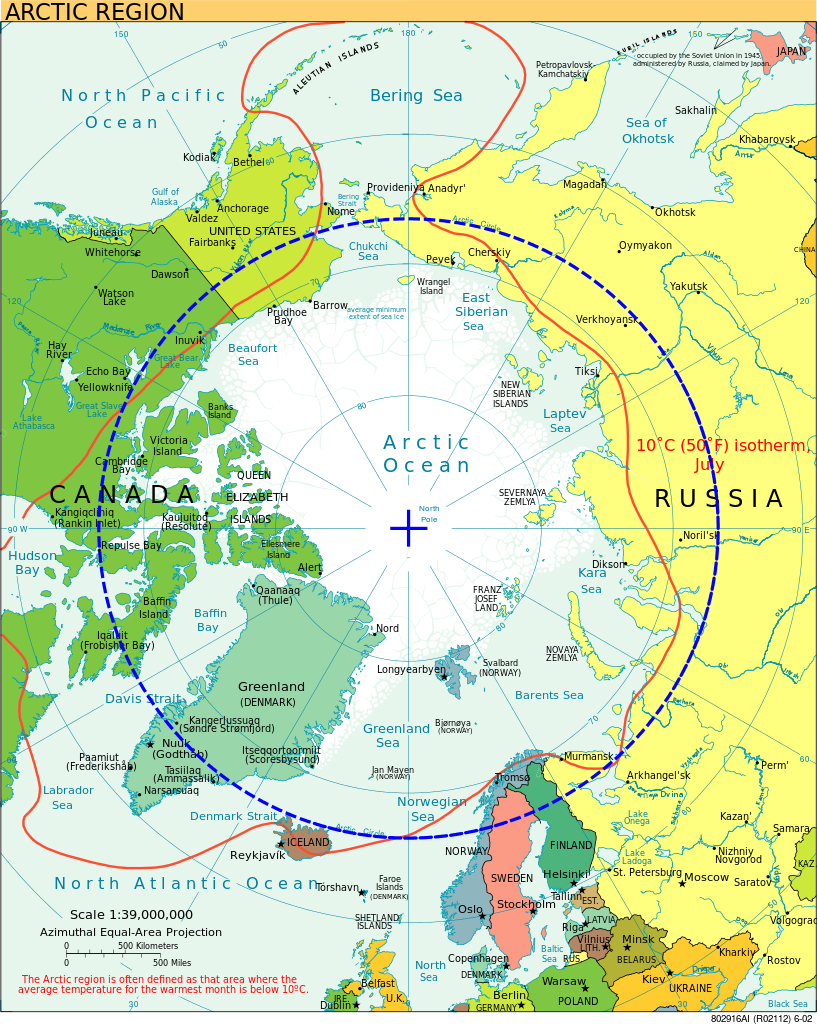
The Arctic Circle is a parallel or line of latitude at approximately 66°33’ N that marks the border of the Arctic, the northernmost region of Earth. The geographic point at the centre of Arctic Circle is the North Pole. In Canada, communities located close to this cartographic boundary include Old Crow in the Yukon, Fort McPherson in the Northwest Territories, and Repulse Bay and Qikiqtarjuaq in Nunavut. The latitude of the Arctic Circle shifts slightly depending on the tilt of the Earth’s rotational axis.

Article

North

In strictly geographic terms, the North refers to the immense hinterland of Canada that lies beyond the narrow strip of the country in which most Canadians live and work, but generally refers to the Northwest Territories, the Yukon and Nunavut.

Article

North Pole

The North Pole did not become a goal of ARCTIC EXPLORATION until fairly late; the few early expeditions that tried to reach it were looking for a polar route to the East rather than for the pole itself. W.E.

Article

Northwest Passage

The Northwest Passage is a sea corridor through Canada's Arctic archipelago and along the northern coast of North America. European explorers searched in vain for the passage for 300 years, intent on finding a commercially viable western sea route between Europe and Asia.

Donate to The Canadian Encyclopedia this Giving Tuesday!

A donation to The Canadian Encyclopedia today will have an even greater impact due to a generous matching gift from an anonymous donor. Starting November 28 until December 5, 2023, all donations will be matched up to $10,000! All donations above $3 will receive a tax receipt. Thank you for your support of The Canadian Encyclopedia, a project of Historica Canada.

Donate